Official tourism website for Mourne Mountains and Ring of Gullion
En

Rostrevor Forest

78 Shore Road, Rostrevor, County Down, BT34 3AA
Rostrevor Forest

Book Tickets Online

About

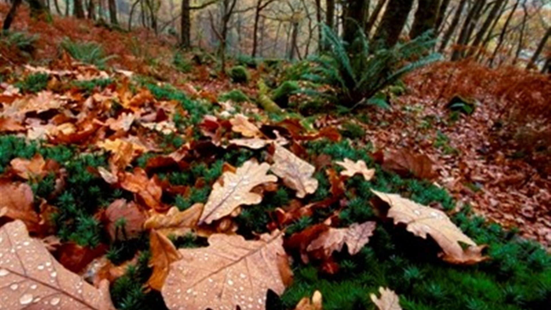
Rostrevor Oakwood National Nature Reserve is a mature oak woodland covering 41 acres on a steep west-facing slope overlooking Carlingford Lough. Such woodlands are rare in Northern Ireland and at Rostrevor the wood, though natural in form, is possibly the product of regeneration after extensive felling during the late 1730s.

Beneath a closed canopy of mature oaks, other species such as ash, hazel, holly and wild cherry form an understory while the ground vegetation consists mostly of woodrush, wild garlic and bluebells. In turn, insects and other animals rely on the trees and plant life and together form a living community.

A casual visit between April and September is a good time to discover some of the woodland's birds and other wildlife. The distinctive songs of blackcaps, willow warblers and chiffchaffs can all be heard. You may also see jays and buzzards regularly soaring above and if you are really lucky, a red squirrel or a beautifully patterned silver-washed fritillary butterfly may also cross your path.

Getting There:
From Rostrevor follow the signs to Rostrevor Forest & Kilbroney.
Once inside the forest, follow the tarmac road uphill to the second car park (located 230 above sea level). This is accessed via a one-way system).

The first car park passed is at Kilbroney and has toilets and cafe.

Facilities

Attraction Facilities

  • Open Evenings
  • Open Mondays
  • Open Sundays

Catering

  • Picnic Area
  • Tea-room/Cafe onsite

Establishment Features

  • Toilets

Parking & Transport

  • On site parking

Provider Preferences

  • Free (parking charges may apply)

Guide Prices

Free

Add Rostrevor Forest to your Itinerary

Close window

Call direct on:

Tel +44 (0) 28 9185 3621

Map & Directions

Opening Times

* Open 24 hours a day, 7 days a week

What's Nearby

  1. Kilbroney Park features riverside walks and an arboretum. There is a two-mile forest…

    0.21 miles away
  2. 'Cill Bhronaigh', or Bronagh’s Church (12th century), is located in the graveyard just…

    1.25 miles away
  3. Our play farm offers a huge indoor soft play area with four dragon slides and a massive…

    2.26 miles away
  1. Warrenpoint Beach is located alongside the Mourne Mountains on the shores of Carlingford…

    2.46 miles away
  2. Excellent example of a tower-house and bawn built about 1568 at a point where the Newry…

    3.89 miles away
  3. "Where the Mountains of Mourne sweep down to the sea" (Percy French)

    The popular song…

    4.63 miles away
  4. Commanding the mouth of Carlingford Lough, the Castle has an eventful history. It was…

    5.19 miles away
  5. Known locally as the ‘King’s Ring’, this court tomb has a prominent position in the…

    5.5 miles away
  6. Cranfield West offers a gently sloping, mainly sandy beach located at the entrance to…

    6.47 miles away
  7. The Silent Valley Reservoir was built to gather water from the Mourne Mountains and is…

    7.78 miles away
  8. Kilnassagart Inscribed Stone, in the south of County Armagh, is regarded as being one of…

    7.83 miles away
  9. The Electric Brae is a hill at which Newton's discovery, the law of gravity, is defied…

    7.88 miles away
  10. Spelga Dam Reservoir sits in the heart of the Mourne Mountains, located approximately 10…

    7.88 miles away
  11. Provides a first class service for visitors to Northern Ireland and for local residents.

    7.99 miles away
  12. Leisleitrim Fort is a fine example of a multivallate rath ( a rath with several banks and…

    8.1 miles away
  13. The Nautilus Centre overlooks Kilkeel's busy and picturesque fishing port and houses the…

    8.09 miles away
Previous Next

Map & Directions

Recently Viewed

  1. Donkey Trail Through Time Experience

    Type

    Experience Days

    Welcome to "Donkey Trail Through Time," an immersive 2-hour guided tour set in Robert's childhood…

  2. Seaforde, County Down

    Type

    Village

    Seaforde is a small village situated on the main Ballynahinch to Newcastle road in County Down. The…

  3. Tullymurray Equestrian Centre

    Type

    Equestrian

    18th Century Range Outbuildings and Stables. All staff very experienced and friendly .Also local…

  4. Saint Patrick's Way Camino Walk and Lunch

    Type

    Walking

    St Patrick's Pilgrim Walk, Downpatrick is an epic adventure. Discover the amazing story of Saint…

View Maps and Visitor Guides
View what the Mourne Mountains & Ring of Gullion has to offer and some of the best things to see and do during a visit.
E-newsletter sign up
Sign up for the Mourne Mountains & Ring of Gullion newsletter for inspiration and travel tips.
Back to Top

Visit Mourne

Tourism Northern Ireland

Geopark

>

Don't Miss