Official tourism website for Mourne Mountains and Ring of Gullion
En

Hilltown, County Down

Main Street, Hilltown, NEWRY, County Down, BT34 5UH
Mourne Mountains

Book Tickets Online

About

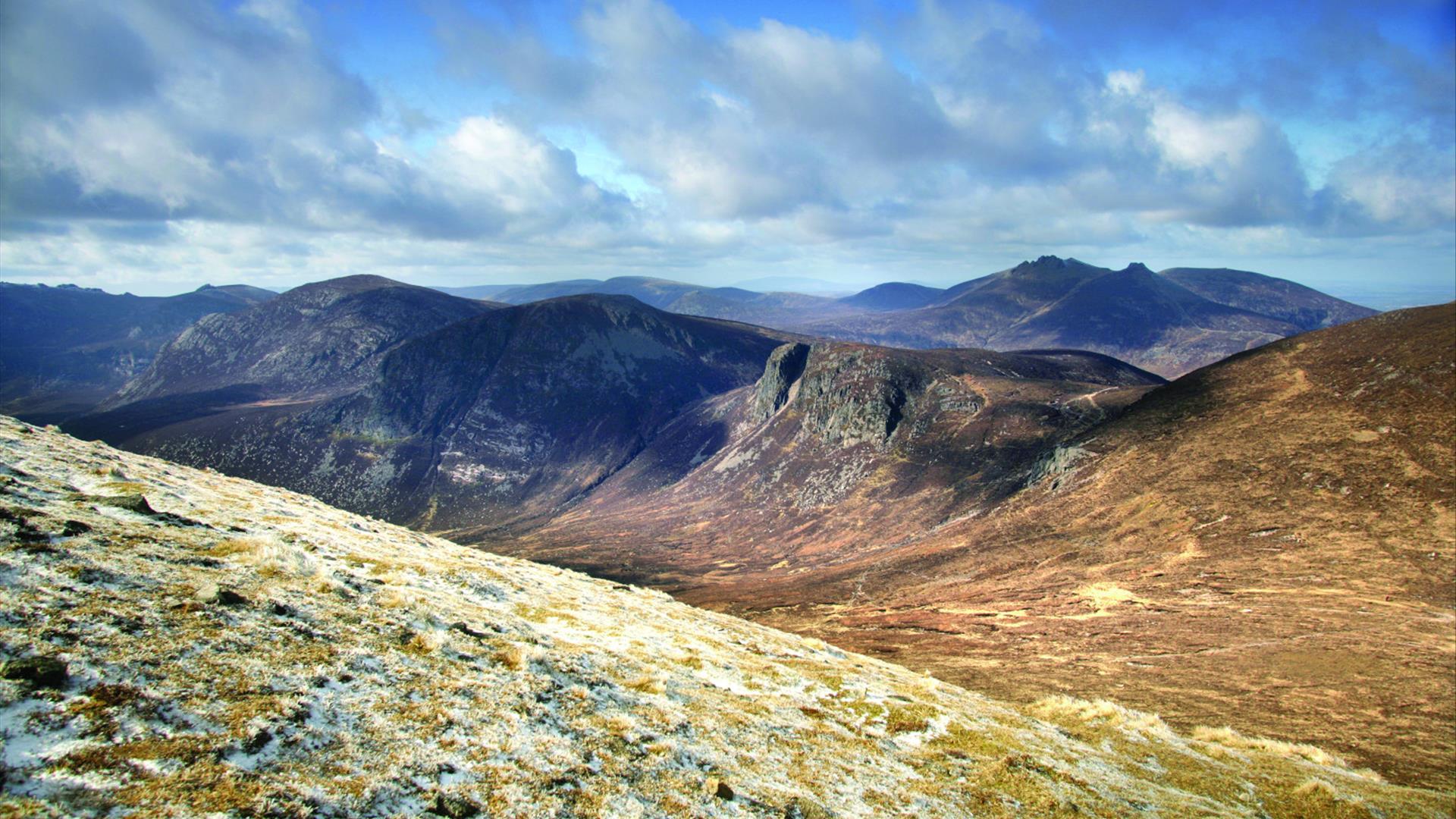
Hilltown is built on the River Bann and is one of the closest settlements to the main peaks of the Mourne Mountains. It was originally known as Eight Mile Bridge and was named Hilltown by the Marquis of Downshire, Lord Hill (also founder of Hillsborough) in 1765. In 1835 the village had a total of 21 houses of which 12 were pubs. The smuggling of brandy and spirits from the coast along ‘The Brandy Pad’ had become a local pastime and Hilltown was the favourite distribution point.

Facilities

Accessibility

  • Designated parking provided for guests with disabilities
  • Toilets for disabled visitors

Establishment Features

  • Accommodation nearby
  • Toilets

Leisure Facilities

  • Outdoor activities

Parking & Transport

  • Car parking

Payment Methods

  • All major credit/debit cards accepted

Add Hilltown, County Down to your Itinerary

Close window

Call direct on:

Tel 033 0137 4046

Map & Directions

What's Nearby

  1. Goward Dolmen is situated approx 0.4km south of the B8 Castlewellan/Hilltown road on the…

    2.43 miles away
  2. "Where the Mountains of Mourne sweep down to the sea" (Percy French)

    The popular song…

    2.63 miles away
  3. The Electric Brae is a hill at which Newton's discovery, the law of gravity, is defied…

    3.56 miles away
  1. Spelga Dam Reservoir sits in the heart of the Mourne Mountains, located approximately 10…

    3.56 miles away
  2. 'Cill Bhronaigh', or Bronagh’s Church (12th century), is located in the graveyard just…

    5.98 miles away
  3. Situated on the "Winding Road to Clanawillan" (Trassey Road), Meelmore Lodge is the best…

    6.2 miles away
  4. Our play farm offers a huge indoor soft play area with four dragon slides and a massive…

    6.91 miles away
  5. Kilbroney Park features riverside walks and an arboretum. There is a two-mile forest…

    7.08 miles away
  6. This beautiful area has superb views and good walking routes over Carlingford Lough.…

    7.23 miles away
  7. The Silent Valley Reservoir was built to gather water from the Mourne Mountains and is…

    7.64 miles away
  8. Dating from the Iron Age period around 10 BC, the enclosure comprises two roughly…

    7.8 miles away
  9. Corliss Fort is one of the best-preserved bivallate raths in County Armagh.

    7.8 miles away
  10. Leisleitrim Fort is a fine example of a multivallate rath ( a rath with several banks and…

    7.8 miles away
  11. Newry Town Hall hosts theatre performances, education programmes, local amateur groups,…

    7.83 miles away
  12. Bagenal’s Castle located in historic Newry is a 16th century fortified house and…

    7.84 miles away
  13. Warrenpoint Beach is located alongside the Mourne Mountains on the shores of Carlingford…

    7.85 miles away
Previous Next

Map & Directions

View Maps and Visitor Guides
View what the Mourne Mountains & Ring of Gullion has to offer and some of the best things to see and do during a visit.
E-newsletter sign up
Sign up for the Mourne Mountains & Ring of Gullion newsletter for inspiration and travel tips.
Back to Top

Visit Mourne

Tourism Northern Ireland

Geopark

>

Don't Miss