

Book Tickets Online
About
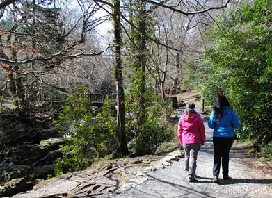
A pleasant walk through both conifer and broadleaved woodland passing the Shimna River, duckponds and several points of historical interest. The Drinns Trail is an optional loop for those wishing to have a greater challenge.
Start Point:
J343325
Finish Point:
J343325
Route:
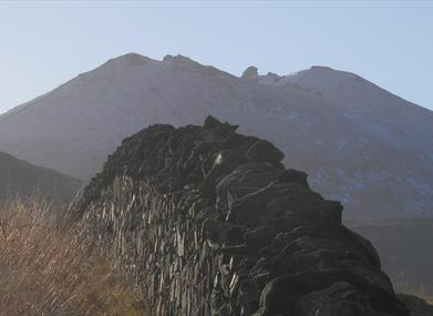
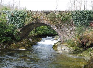
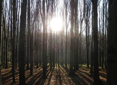
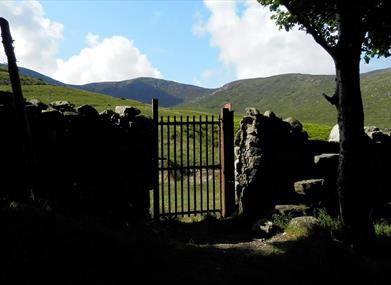
The Mountain Trail - Passing through the Forest Plots, the Mountain Trail enters a beech woodland, which in the spring is covered in bluebells. The route runs parallel with the Shimna River before crossing it over the Boundary Bridge. The trail continues along one of the Shimna’s tributaries through mature conifer forest. Good views of Luke’s mountain can be had as the trail reaches the boundary wall before zigzagging back toward the Spinkwee River, crossing at the Hore’s bridge. For those seeking a longer walk - from the crossroads follow the optional Drinns Trail. (The Drinns are two distinct hills clearly seen from the main car park. The easterly Drinn is the highest point in the Forest Park at 255m. The Curraghard viewpoint offers a resting spot to view the expansive view of the Northern Mournes, Dundrum Bay, Newcastle and the Irish Sea) This Black Trail adds a further 2.9 miles by circumnavigating the Drinns running along the boundary wall and past conifer forest to Curraghhard viewpoint and back to the Mountain Trail. The second half of the Mountain Trail passes through conifer plantations at various stages of maturity before reaching the second crossing point of the Shimna River at the Ivy Bridge. The return route to the car park proceeds along the old river drive passing Foley’s bridge and the dramatic Shimna Gorge before returning up the Green Rig. Trail Features Steps, gullies, fences, streams, boulders Severe gradients Generally undefined edges Overhanging branches All types of terrain Some rest areas at irregular intervals Way-finding markers at trail junctions Distance 'To Go' markers at trail junctions These walks are situated in a working forest environment and may be subject to diversion and closure from time to time. Up to date information is available on the Forest Service web site - link below.
Distance:
5.5 plus 2.9 miles
Terrain:
Forest paths, broken surfaces
Point of interest:
Mature woodland, rivers, wildlife
Facilities:
Car park (fee charged), toilets (disabled access), picnic areas, camping and caravaning, electronic 'In-Touch' information kiosk, Way-marked/ nature trails, guided tours available
Nearest town:
Newcastle
OS map:
Sheet 29
Accessible toilet facilities:
Yes
Accessible terrain:
Unsurfaced forest paths with broken surface material.
Facilities
Provider Preferences
- Free (parking charges may apply)


