

Book Tickets Online
About
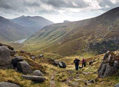
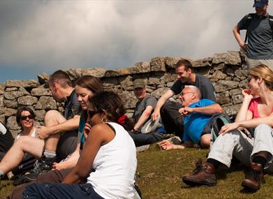
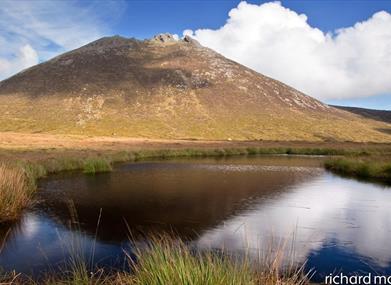
This is a strenuous and challenging walk with some steep ascents, but it is certainly worth it. The walk takes in three of the four highest peaks in the Mourne Mountains (Slieve Donard 853m, Slieve Commedagh 765m, Slieve Bearnagh 739m) and also the Brandy Pad – the well-trodden and infamous smugglers track. The walk gives wonderful views to the Irish Sea and to the heart of the High Mournes.Start Point:
J311314
Finish Point:
J311314
Route:
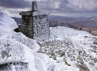
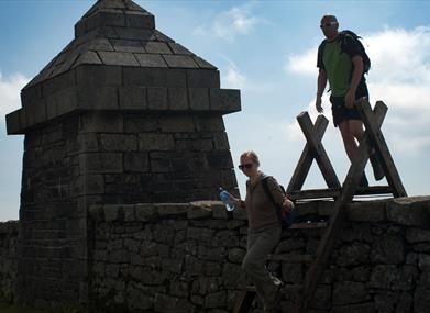
From Trassey Car park, follow the road to the left for 50m, before reaching the start of Trassey Track on your left (waymarked for the Ulster Way). Follow the obvious track up towards the mountains. You will go through 3 sets of double gates (including the one at the start) before you reach the open mountains. Look ahead and you will see Hare’s Gap (a saddle between Slieve Bearnagh and Slievenaglough). Continue up the main Trassey Track and just before the path increases in gradient up towards the quarry, take the right hand track up towards the col between Slieve Meelmore and Slieve Bearnagh, where you meet the Mourne Wall. Cross the stile and turn left, following the Mourne Wall up Slieve Bearnagh which is a challenging ascent with some rocky outcrops to maneouver. On the top make your way over to the Summit Tor for wonderful 360 degree views of the High and Western Mournes. Walk across to the North Tor, approx 500 metres away. From the North Tor, follow the steep track down Slieve Bearnagh towards Hare's Gap. Extreme caution should be taken here as it is very steep. Part of the lower track is built steps. On reaching Hare’s Gap, you get good views of the High Mournes and Ben Crom Reservoir. From Hare's Gap, follow the easily identifiable Brandy Pad, bearing left at the distinct cairn on the path at the col between Slieve Beg and Slieve Commedagh. Continue along the path underneath the Castles (pinnacles on the south side of Slieve Commedagh) and at the end of the Castles, bear left and continue on the path up to where it meets the Mourne Wall at the col between Slieve Donard and Slieve Commedagh. At this point, walk up Slieve Donard, take care when descending in wet and icy conditions due to the terrain being slippy underfoot, and retrace your steps back to the col before commencing the summit of Slieve Commedagh. Follow the Mourne Wall up Slieve Commedagh. From Commedagh views can be enjoyed to Newcastle below and out to the Irish Sea. From here continue along the wall, up Slievenaglough and then down towards Hare’s Gap. It is better to be on the south side of the Mourne Wall to navigate your way down the steep ascent towards Hare’s Gap. Part of the lower track is built steps. At Hare’s Gap climb the stile or pass through the gate and descend through the rocky terrain to meet the Trassey Track. Follow the Trassey Track back to the start point.
Distance:
15 miles
Terrain:
Steep, rocky mountain paths
Point of interest:
Slieve Donard, Trassey Track, Brandy Pad, Slieve Commedagh
Facilities:
Car parking
Nearest town:
Bryansford
OS map:
29
Book Tickets
Facilities
Provider Preferences
- Free (parking charges may apply)


