Official tourism website for Mourne Mountains and Ring of Gullion
En

Slieve Donard (via Glen River)

Co Down
Slieve Donard (via Glen River)

Book Tickets Online

About

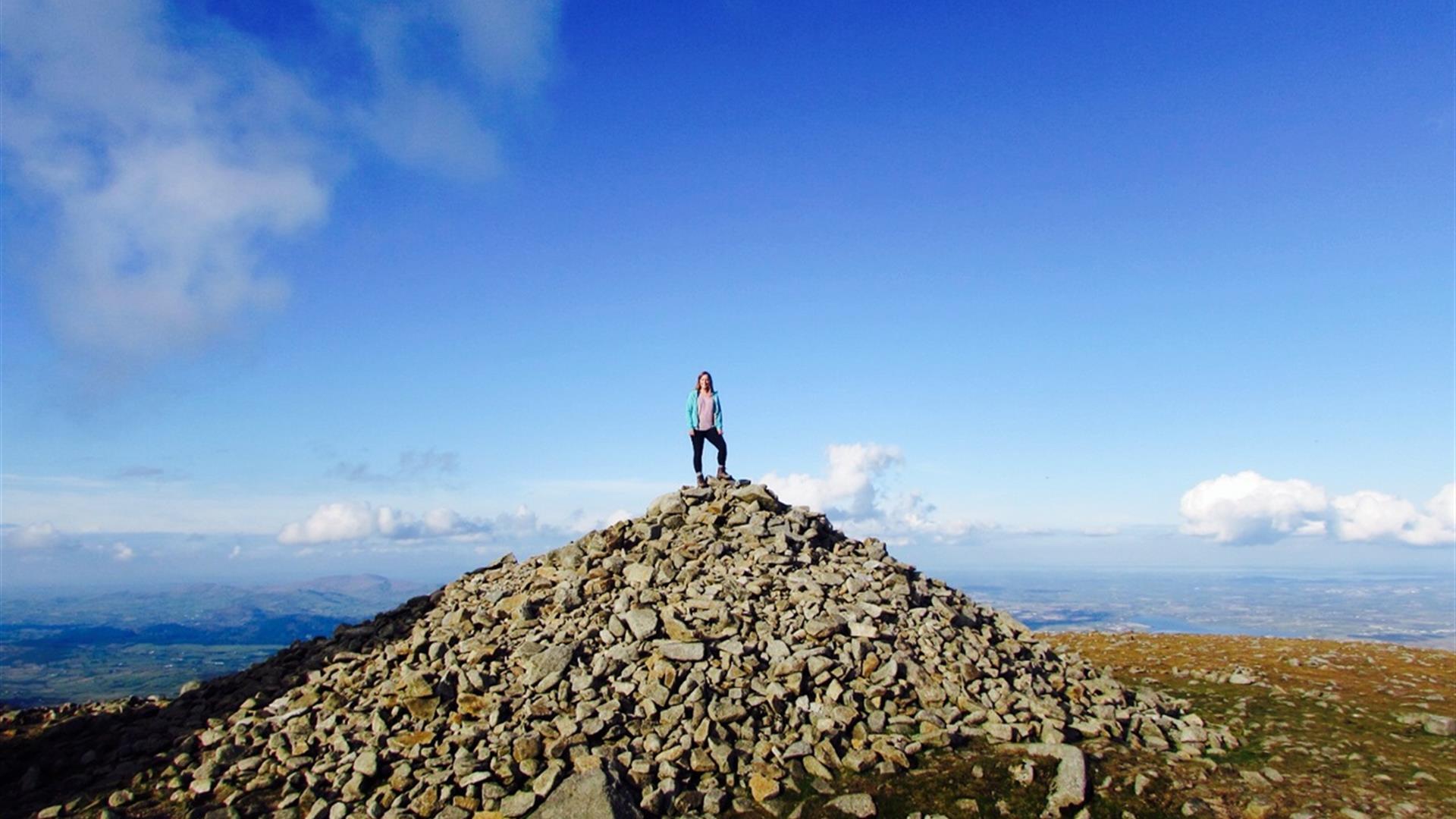
Slieve Donard at 850m (2,789 ft) is the highest of the Mourne Mtns. The views from the summit are extensive and on a clear day the Isle of Man, Wicklow, Donegal, Wales and Scotland may be seen, as well as the long stretch of Newcastle Beach.

Start Point:
J375305

Finish Point:
J375305

Route:
Leave the car park in Donard Park heading towards the mountain and follow the Glen River uphill through old woodland of Scots Pine, Oak and Birch. At the first of 3 bridges, cross to the opposite bank. Continue uphill through the forest, above a deep cut riverbed, for about 400m until another bridge is reached. The riverbank overhangs along this section so extra care is needed. At this point cross back to the left hand side and resume journey uphill through the trees. At the next bridge continue across the forest road and onto the rough track heading up towards the mountains, with thick forest on right (fenced), until a gate and stile is reached. Cross the stile and follow the track above the river for about 2kms, heading towards the saddle between Donard and Commedagh. At this point, the path crosses the river and continues uphill to the 'Saddle' where it meets the Mourne Wall. At the Mourne Wall turn left and follow the wall steeply uphill towards the summit. From the summit return by the same route, staying close to the wall until the Saddle is reached again. The cliffs on the north side of Donard known as Eagle Rocks should be avoided by walkers since the approaches are steep. Return to Donard Park following the line of the Glen River.

Distance:
2.9 (one way) miles

Terrain:
Mainly forest and mountain paths

Point of interest:
Views from summit

Facilities:
Toilets and parking in Donard Park. Refreshments in Newcastle.

Publication:
None

Publication availability:
n/a

Nearest town:
Newcastle

OS map:
Sheet 29

Accessible toilet facilities:
Yes

Accessible terrain:
The terrain is on rough forest and mountain tracks. Steep in places, parts of the steep mountain section have been paved with stone.

Facilities

Provider Preferences

  • Free (parking charges may apply)

Map & Directions

What's Nearby

  1. Donard park is a beautiful park located in the lovely town of Newcastle County Down, next…

    0.06 miles away
  2. The Mourne Wall is 22 miles long and consists of natural granite stone which was…

    0.07 miles away
  3. The High Mournes Scenic Loop delves into the very heart of the famous Mourne Mountains…

    0.28 miles away
  1. The Mourne Coastal Route has a few start off points from the County Down coastline,…

    0.28 miles away
  2. Newcastle's Parks consist of outdoor facilities at the Castle and Island parks. Castle…

    0.29 miles away
  3. Newcastle Beach is a popular seaside resort and tourist destination located on the South…

    0.61 miles away
  4. This 5 mile stretch of golden sands is still the essence of the resort and is hugely…

    2.26 miles away
  5. Maghera Church and Round Tower is of major historical importance and is among many…

    2.26 miles away
  6. Tollymore Forest Park has panoramic views of the surrounding mountains and the sea at…

    2.37 miles away
  7. Murlough National Nature Reserve is a fragile 6000 year old sand dune system owned by the…

    2.79 miles away
  8. The Maize Maze is the only one of its kind in Northern Ireland. A massive 6 acre field of…

    3.45 miles away
  9. Set in spectacular surroundings overlooking Dundrum inner Bay these fine Georgian…

    3.88 miles away
  10. A small car park for visitors is located off the Drumnaquoile Road and an extensive…

    4.16 miles away
  11. Situated on the "Winding Road to Clanawillan" (Trassey Road), Meelmore Lodge is the best…

    4.19 miles away
  12. Believed to have been built in or around 1177, Dundrum Castle was built by John De Courcy…

    4.37 miles away
  13. Castlewellan Peace Maze is located in Castlewellan Forest Park on Forest Park View,…

    4.44 miles away
Previous Next

Map & Directions

Road Directions

Follow the one way system to the south end of Newcastle main street. Donard Car Park has ample parking.

Public Transport Directions

Translink - journeyplanner.translink.co.uk

View Maps and Visitor Guides
View what the Mourne Mountains & Ring of Gullion has to offer and some of the best things to see and do during a visit.
E-newsletter sign up
Sign up for the Mourne Mountains & Ring of Gullion newsletter for inspiration and travel tips.
Back to Top

Visit Mourne

Tourism Northern Ireland

Geopark

>

Don't Miss