Official tourism website for Mourne Mountains and Ring of Gullion
En

Introduction to Navigation & Hill Skills

Meelmore Lodge, Trassey Road, Newcastle, County Down, BT33 0QB
Compass being used to locate ourselves on the mountain

About

The ideal course for a complete beginner with maps, or someone with previous skills that need refreshed / updated.

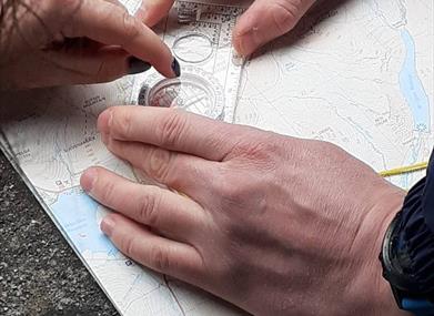
This one day course is designed to give you a solid foundational knowledge base in navigation and the associated "Hill Skills" to stay safe in the mountain envrionment.

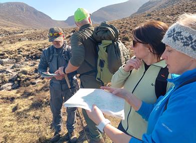
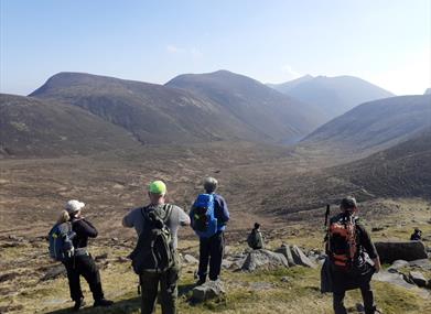
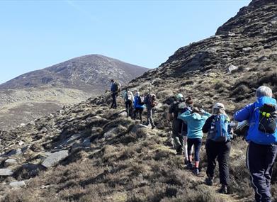
Begininng with a quick "classroom" session of introduction to maps and route planning, followed by a full day out on the hill where you will get lots of hands on time learning the essentials, guided and taught by our experienced team.

Facilities

Establishment Features

  • Accommodation nearby
  • Lessons/courses available

Event Facilities

  • Booking Required

Parking & Transport

  • On site parking

Guide Prices

Ticket TypeTicket Tariff
Adult£55.00 per ticket

Please contact the organiser for any further information that's required.

Book Tickets Online

Add Introduction to Navigation & Hill  Skills to your Itinerary

Check availability for Introduction to Navigation & Hill  Skills (opens in a new window)

Close window

Call direct on:

Tel +44 (0) 7707111906

Map & Directions

Opening Times

Sorry, this event has passed

What's Nearby

  1. Situated on the "Winding Road to Clanawillan" (Trassey Road), Meelmore Lodge is the best…

    0.26 miles away
  2. Tollymore Forest Park has panoramic views of the surrounding mountains and the sea at…

    2.62 miles away
  3. The Electric Brae is a hill at which Newton's discovery, the law of gravity, is defied…

    3.24 miles away
  1. Spelga Dam Reservoir sits in the heart of the Mourne Mountains, located approximately 10…

    3.24 miles away
  2. Goward Dolmen is situated approx 0.4km south of the B8 Castlewellan/Hilltown road on the…

    3.84 miles away
  3. Castlewellan Peace Maze is located in Castlewellan Forest Park on Forest Park View,…

    3.88 miles away
  4. A small car park for visitors is located off the Drumnaquoile Road and an extensive…

    4.06 miles away
  5. Located on Forest Park View, Castlewellan, County Down, in a dramatic setting of…

    4.07 miles away
  6. The Castlewellan Arboretum and Annesley Garden is situated north of the foothills of the…

    4.3 miles away
  7. The Mourne Wall is 22 miles long and consists of natural granite stone which was…

    4.3 miles away
  8. Donard park is a beautiful park located in the lovely town of Newcastle County Down, next…

    4.31 miles away
  9. The Mourne Coastal Route has a few start off points from the County Down coastline,…

    4.37 miles away
  10. Newcastle's Parks consist of outdoor facilities at the Castle and Island parks. Castle…

    4.37 miles away
  11. The High Mournes Scenic Loop delves into the very heart of the famous Mourne Mountains…

    4.37 miles away
  12. Maghera Church and Round Tower is of major historical importance and is among many…

    4.6 miles away
  13. Newcastle Beach is a popular seaside resort and tourist destination located on the South…

    4.6 miles away
Previous Next

Map & Directions

View Maps and Visitor Guides
View what the Mourne Mountains & Ring of Gullion has to offer and some of the best things to see and do during a visit.
E-newsletter sign up
Sign up for the Mourne Mountains & Ring of Gullion newsletter for inspiration and travel tips.
Back to Top

Visit Mourne

Tourism Northern Ireland

Geopark

>

Don't Miss