Official tourism website for Mourne Mountains and Ring of Gullion
En

Synge and Byrne at Kilbroney Park

Kilbroney Park, Shore Road, Rostrevor, County Down, BT34 3AA
Family of four enjoying breakfast at Synge and Bryne - Kilbroney Park

About

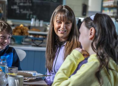
Synge and Bryne is situated in the heart of Kilbroney Park.  We offer an extensive cafe menu and a wide range of teas, coffees and treats. We have easy accessibility and are right beside the mountain bike trails, the play park and the tennis courts.
 

Facilities

Children & Infants

  • Baby changing facilities
  • Children's Menu Available
  • Highchairs Available

Payment Methods

  • All major credit/debit cards accepted
  • Euros accepted

TripAdvisor

Add Synge and Byrne at Kilbroney Park to your Itinerary

Close window

Call direct on:

Tel +44 (0) 28 4173 7705

Map & Directions

Opening Times

* Monday - Sunday
9am - 5pm

What's Nearby

  1. Kilbroney Park features riverside walks and an arboretum. There is a two-mile forest…

    0.1 miles away
  2. This beautiful area has superb views and good walking routes over Carlingford Lough.…

    0.11 miles away
  3. 'Cill Bhronaigh', or Bronagh’s Church (12th century), is located in the graveyard just…

    1.15 miles away
  1. Our play farm offers a huge indoor soft play area with four dragon slides and a massive…

    2.17 miles away
  2. Warrenpoint Beach is located alongside the Mourne Mountains on the shores of Carlingford…

    2.41 miles away
  3. Excellent example of a tower-house and bawn built about 1568 at a point where the Newry…

    3.82 miles away
  4. "Where the Mountains of Mourne sweep down to the sea" (Percy French)

    The popular song…

    4.54 miles away
  5. Commanding the mouth of Carlingford Lough, the Castle has an eventful history. It was…

    5.29 miles away
  6. Known locally as the ‘King’s Ring’, this court tomb has a prominent position in the…

    5.44 miles away
  7. Cranfield West offers a gently sloping, mainly sandy beach located at the entrance to…

    6.57 miles away
  8. The Silent Valley Reservoir was built to gather water from the Mourne Mountains and is…

    7.79 miles away
  9. Kilnassagart Inscribed Stone, in the south of County Armagh, is regarded as being one of…

    7.82 miles away
  10. The Electric Brae is a hill at which Newton's discovery, the law of gravity, is defied…

    7.82 miles away
  11. Spelga Dam Reservoir sits in the heart of the Mourne Mountains, located approximately 10…

    7.82 miles away
  12. Corliss Fort is one of the best-preserved bivallate raths in County Armagh.

    8 miles away
  13. Dating from the Iron Age period around 10 BC, the enclosure comprises two roughly…

    8 miles away
Previous Next

Map & Directions

View Maps and Visitor Guides
View what the Mourne Mountains & Ring of Gullion has to offer and some of the best things to see and do during a visit.
E-newsletter sign up
Sign up for the Mourne Mountains & Ring of Gullion newsletter for inspiration and travel tips.
Back to Top

Visit Mourne

Tourism Northern Ireland

Geopark

>

Don't Miss