

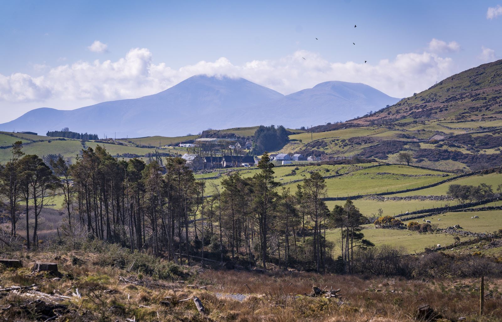
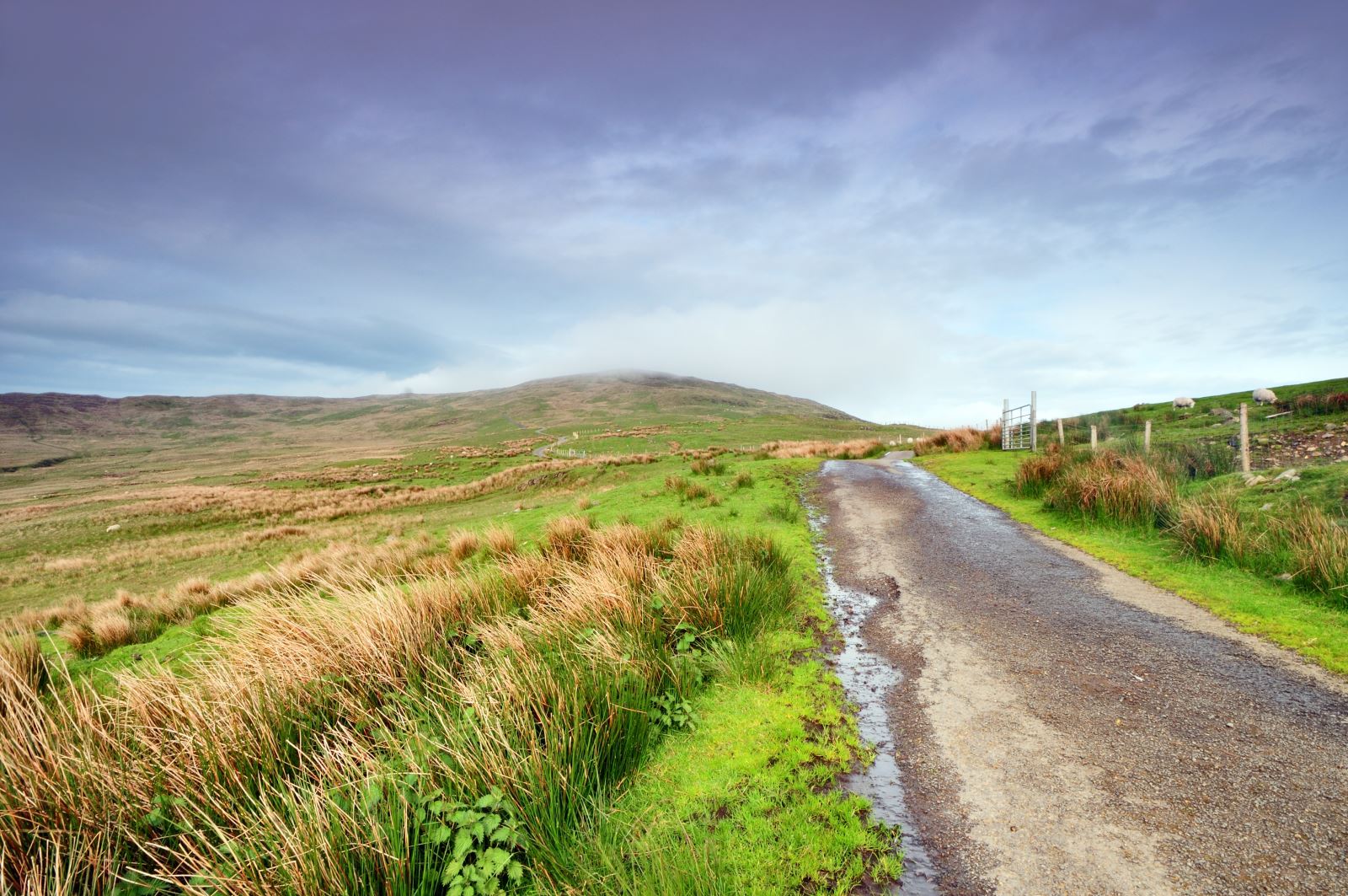
The Mourne Gullion Strangford regions offer a tapestry of landscapes waiting to be explored. Whether you're seeking challenging mountain trails, gentle coastal paths, or family-friendly forest walks. This guided list of the top 30 walks in Mourne Gullion Strangford suggested by Walk NI will help you uncover the best routes to immerse yourself in the natural beauty of this UNESCO Global Geopark.
.jpg)
1. Slieve Donard (via Glen River)
Distance: 2.9 miles | Start point: Donard Car Park, Newcastle, County Down
Follow the Glen River uphill through woodland and along the Mourne Wall to the summit. Return via the same route.
2. Mourne Wall Challenge
Distance: 19 miles | Start point: Carrick Little Car Park
The Mourne Wall Challenge is a demanding 19-mile circular hike, traversing seven of the Mourne Mountains' highest peaks while following the historic Mourne Wall.
3. Slieve Binnian
Distance: 6.1 miles | Start point: Carrick Little Car Park
Circular walking route follows the Mourne Wall to the summit of Slieve Binnian, offering panoramic views of Silent Valley and surrounding peaks.
4. Hen, Cock and Pigeon Rock
Distance: 5.9 miles | Start point: Sandbank Road Car Park
Circular hike in the western Mourne Mountains, ascending three rugged peaks—Hen, Cock, and Pigeon Rock—via open mountain terrain before descending through a scenic valley back to the start.
5. Blue Lough
Distance: 5 miles | Start point: Carrick Little Car Park
Out-and-back trail leading to a tranquil mountain lake framed by Slieve Lamagan and Slieve Binnian, offering scenic views.
6. Mourne Way
Distance: 23.4 miles | Start point: Newcastle (Tollymore)
The route is almost entirely off-road, traversing the foothills of the Mourne Mountains from Newcastle to Rostrevor on Carlingford Lough.
7. Meelmore and Meelbeg
Distance: 5.4 miles | Start point: Ott Car Park
Circular hike in the Mourne Mountains, summiting two of the region's highest peaks, Slieve Meelbeg and Slieve Meelmore.
8. Newry Canal Way
Distance: 19.5 miles | Start point: Portadown (Moneypenny’s Lock)
Linear route from Portadown to Newry, following the restored towpath of the historic Newry Canal.
9. Granite Trail (Bogie Line and Drinneevar Loop)
Distance: 2.4 miles | Start point: Newcastle Harbour
Circular walk with steep forest inclines and historic granite quarry sites, offering scenic views and remnants of the region's granite industry.
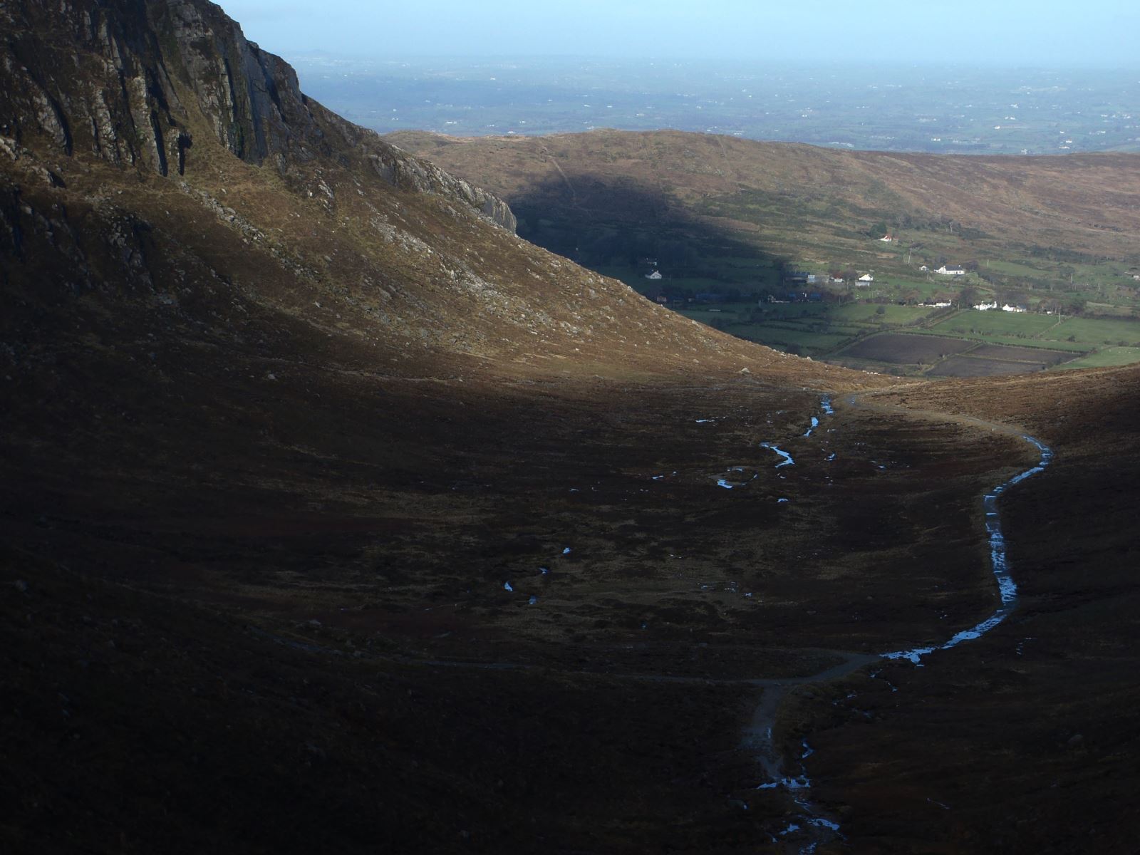
10. Slieve Donard from Bloody Bridge
Distance: 6.6 miles | Start point: Bloody Bridge Car Park
Loop that climbs to Northern Ireland’s highest peak via the Mourne Wall, offering panoramic views.
11. Hare's Gap
Distance: 2.1 Miles | Start point: Trassey Road (Council Car Park)
Linear walk in the Mourne Mountains, offering scenic views and access to routes leading to Slieve Bearnagh or along the Brandy Pad.
12. Drumkeeragh Forest - Viewpoint Trail
Distance: 4.3 miles | Start point: Drumnaquoile Road Car Park
Circular route offering panoramic views of the Mourne Mountains, Dundrum Bay, and Slieve Croob.
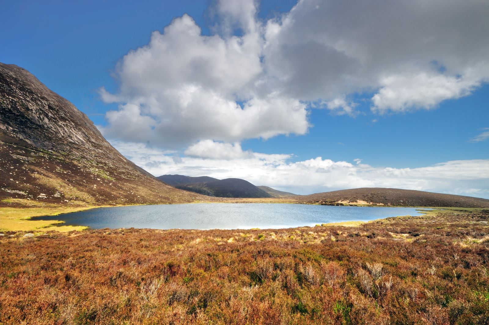
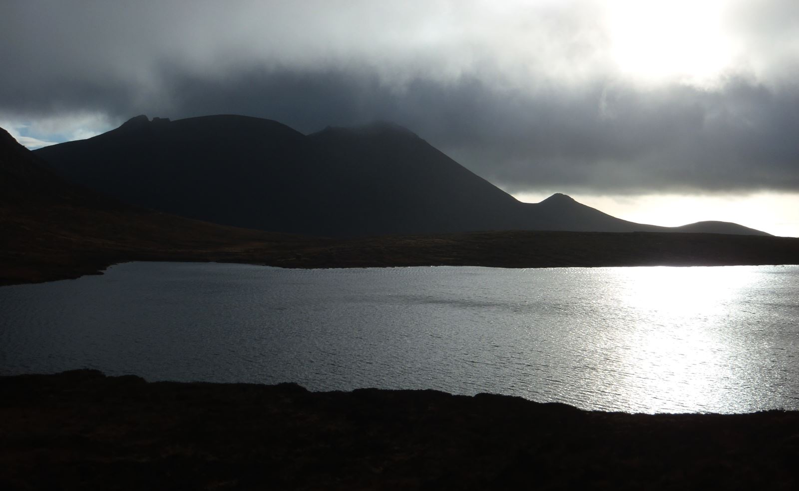
13. Lough Shannagh
Distance: 5.9 miles | Start point: Banns Road Car Park
Hike leading to a secluded corrie lake surrounded by rugged peaks.
14. Central Mournes
Distance: 8.3 miles | Start point: Carrick Little Car Park
Circular hike featuring landmarks such as Annalong Wood, Blue Lough, Slievelamagan, Cove Mountain, Slieve Beg, and the Annalong River.
15. Lecale Way
Distance: 47.3 miles | Start point: St. Patrick’s Centre, Downpatrick
Coastal trail through County Down linking historic towns, beaches, and loughside paths.
16. Slieve Donard, Commedagh and Bearnagh
Distance: 8.8 miles | Start point: Trassey Car Park
Challenging 15-mile loop summiting three of the Mourne Mountains' highest peaks and offering panoramic views.

17. Tollymore Forest Park – Mountain & Drinns Trail
Distance: 8.9 miles | Start point: Tollymore Forest Park
Combines woodland paths, river crossings, and optional hill climbs for panoramic views of the Mourne Mountains and Dundrum Bay.
.jpeg)
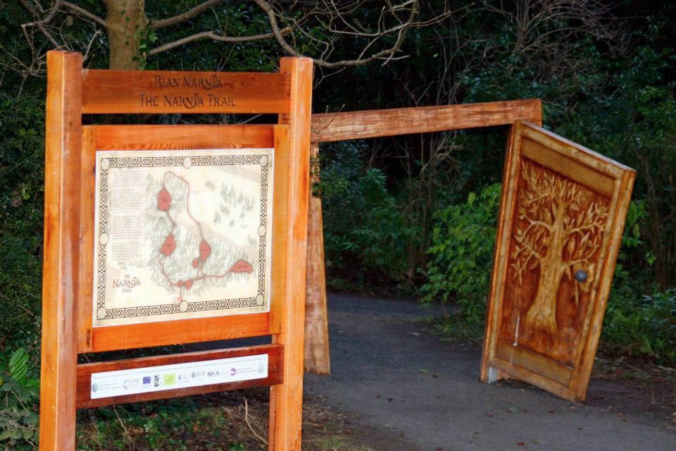
18. The Narnia Trail
Distance: 0.3 miles | Start point: Kilbroney Park
Woodland loop in Kilbroney Park, Rostrevor, featuring interactive sculptures inspired by C.S. Lewis's Narnia series.
19. Trassey to Bloody Bridge
Distance: 7.4 miles | Start point: Trassey Car Park
Linear hike traversing the Mourne Mountains via the Brandy Pad, offering panoramic views and passing landmarks such as the Mourne Wall and the Castles.
20. Rocky Mountain
Distance: 4.1 miles | Start point: Quarter Road (beside Rourke’s Park)
Trail offering panoramic views of the Mourne Mountains and Annalong Valley from its summit.
21. Aughrim Hill Wood
Distance: 2.3 miles | Start point: Off Ballymagoegh Road
Loop offering a moderate hike through newly planted native woodlands with panoramic Mourne views.
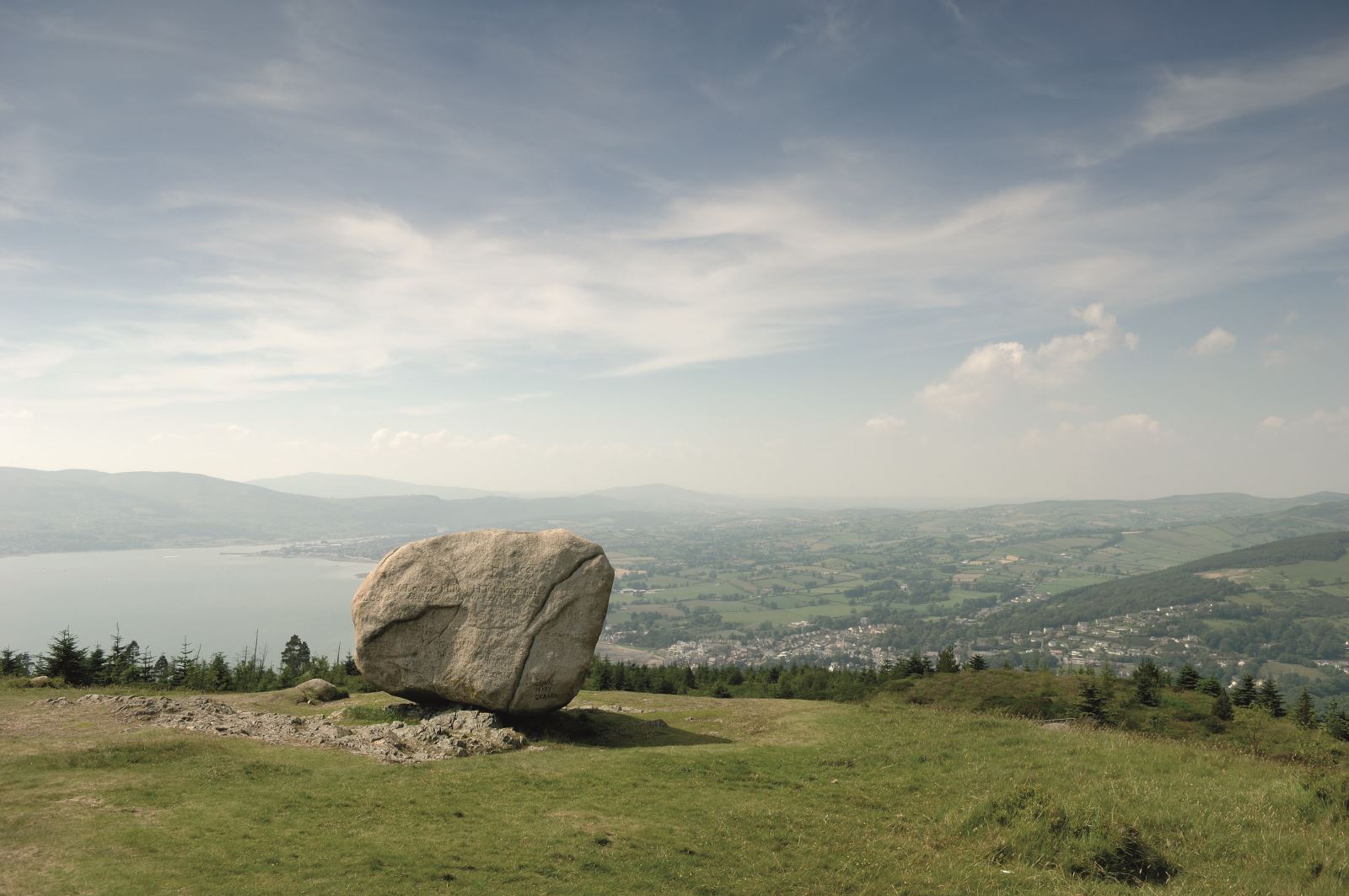
22. Rostrevor Cloughmore Stone
Distance: Up to 4.5 miles | Start point: Rostrevor Forest (Kilbroney Park)
Three waymarked tracks lead to a 50-tonne glacial erratic with panoramic views of Carlingford Lough and the Mourne Mountains.
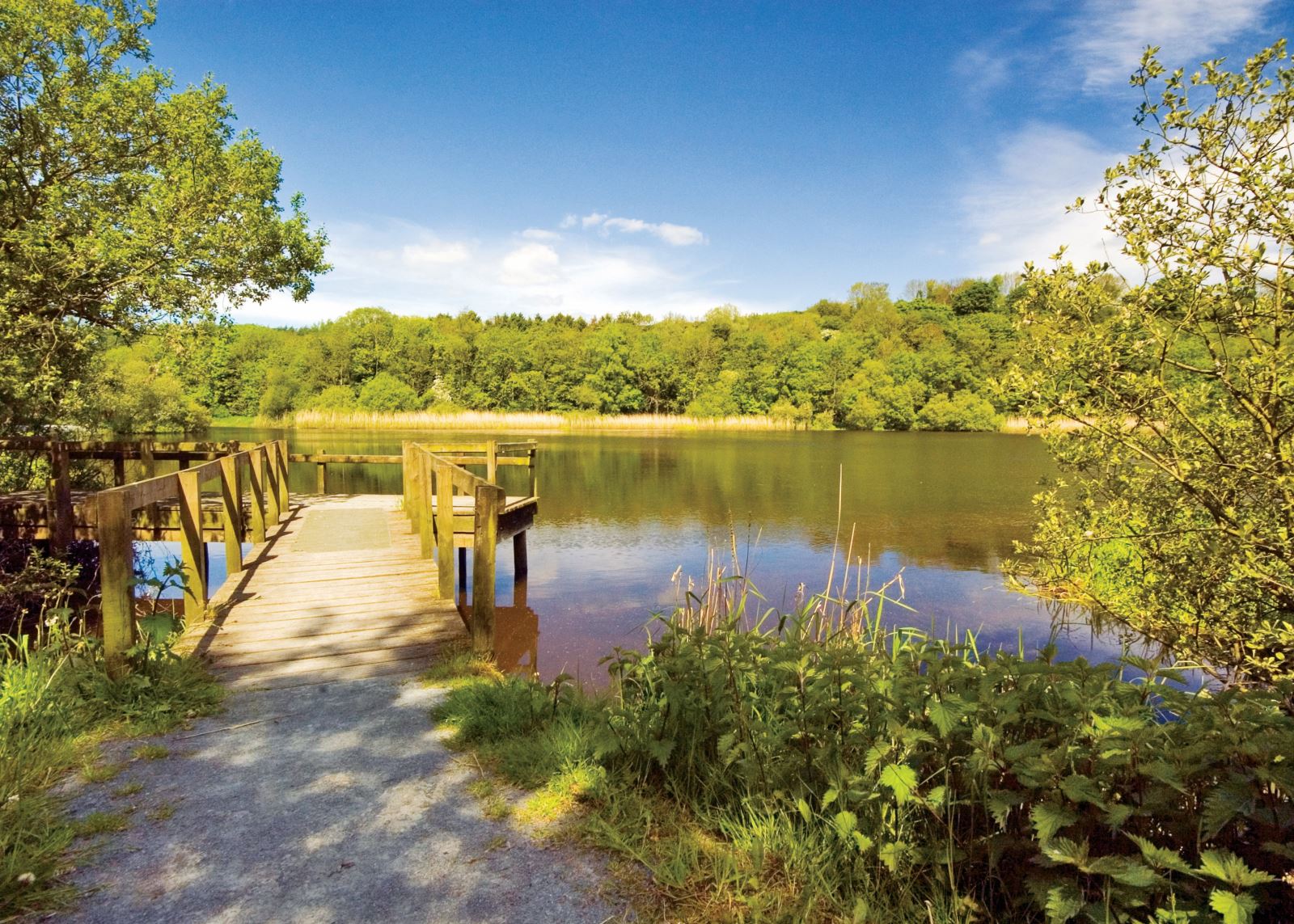
23. Murlough National Nature Reserve
Distance: 2.8 miles | Start point: Main Murlough Car Park
Circular route through diverse habitats, offering stunning views of Dundrum Bay and the Mourne Mountains.
24. Castlewellan Forest Park – Slievenaslat Walk
Distance: 2.2 miles | Start point: Castlewellan Forest Park
Circular trail that ascends to the 272m summit of Slievenaslat, offering panoramic views of the Mourne Mountains and surrounding drumlin landscape.
25. Silent Valley – Ben Crom Dam Walk
Distance: 3 miles | Start point: Silent Valley Car Park
Scenic trail through the Mourne Mountains, featuring tranquil reservoir views.
26. Cloughmore Trail via Fiddler’s Green
Distance: 0.4 miles | Start point: Cloughmore Car Park
Steep ascent to a 50-tonne glacial erratic with panoramic views over Carlingford Lough and the Mourne Mountains.
27. Quoile River Walk
Distance: 5.6 miles | Start point: Down County Museum
Circular route through Downpatrick, featuring scenic riverside paths and historic sites like the Mound of Down.
28. The Fallows
Distance: 10.03 miles | Start point: Kilbroney Park
Loop walk through Rostrevor Forest, featuring steep inclines, rugged terrain, and panoramic views of Carlingford Lough and the Mourne Mountains.
29. Slieve Croob Transmitter Road Walk / 'The Twelve Cairns' Walk
Distance: 1.4 miles | Start point: Dree Hill Road Car Park
Linear route through the Dromara Hills, ascending via the Transmitter Road to the summit of Slieve Croob.
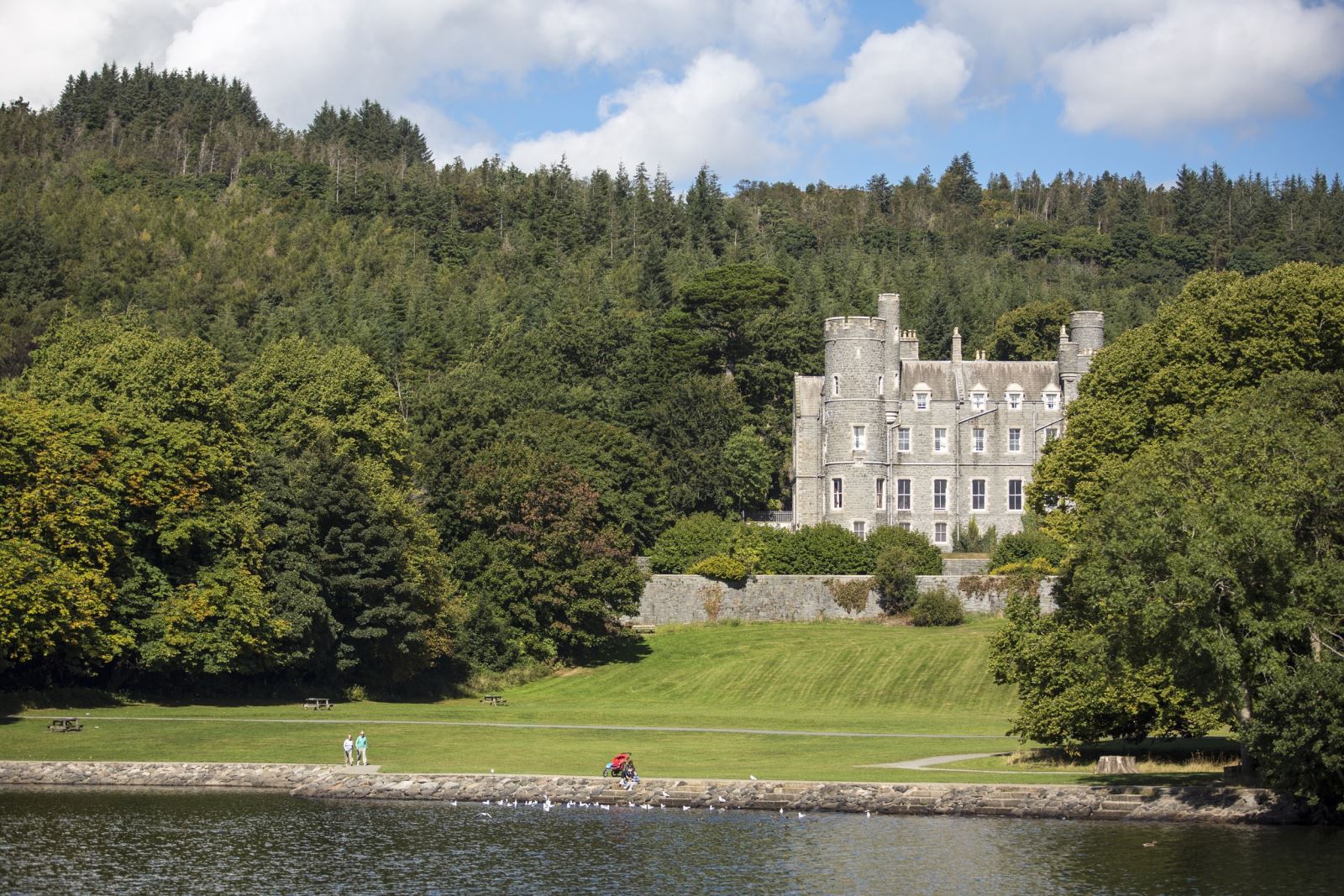
30. Slieve Gullion
Distance: 8.7 miles | Start point: Car Park, Slieve Gullion Forest ParkCircular Route taking in Cairns, chambered grave and Killeavey Castle and Churches following minor roads and forest tracks.
For further information on each walk please click on the links provided or alternatively visit the Walk NI website.

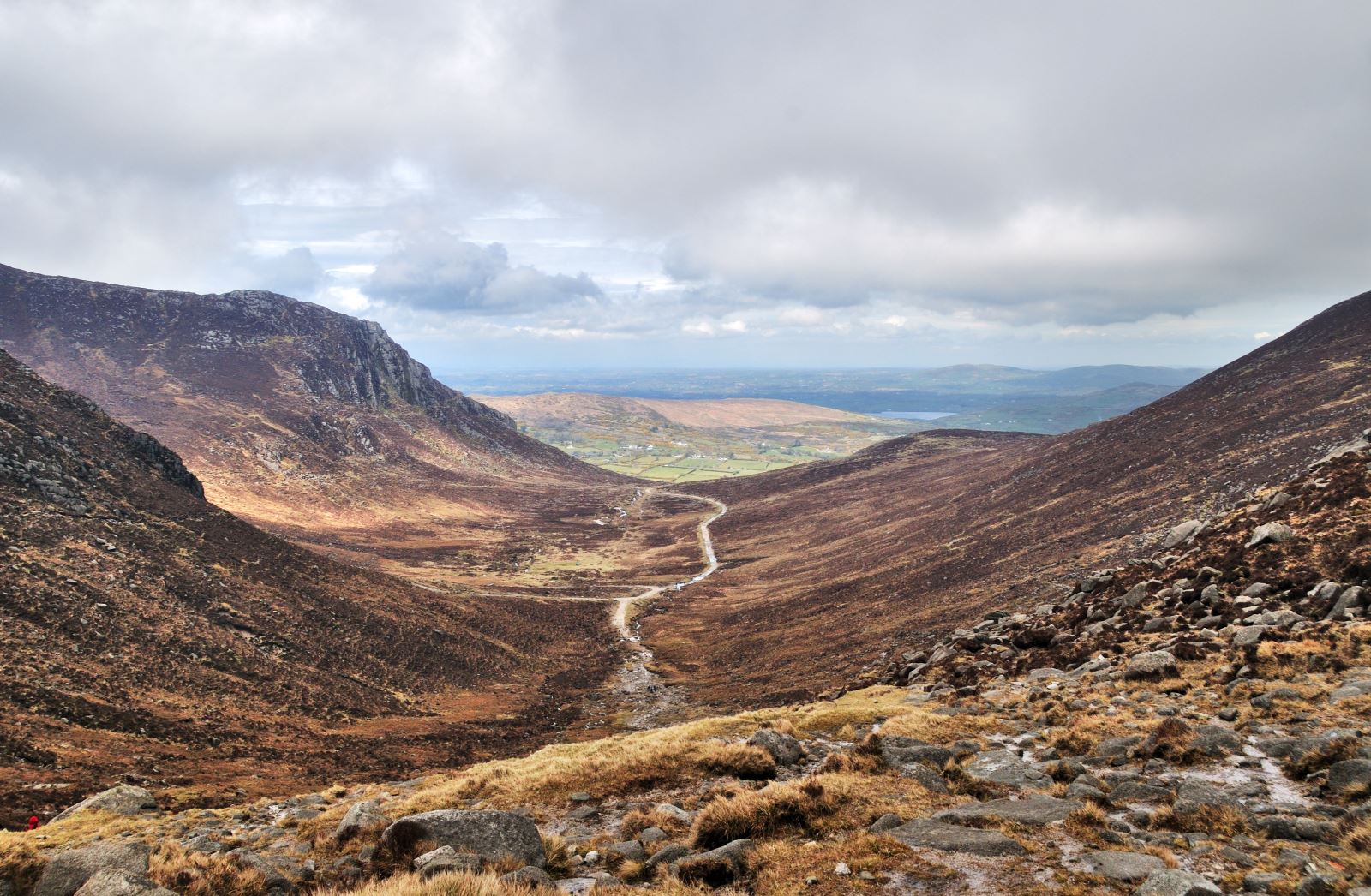
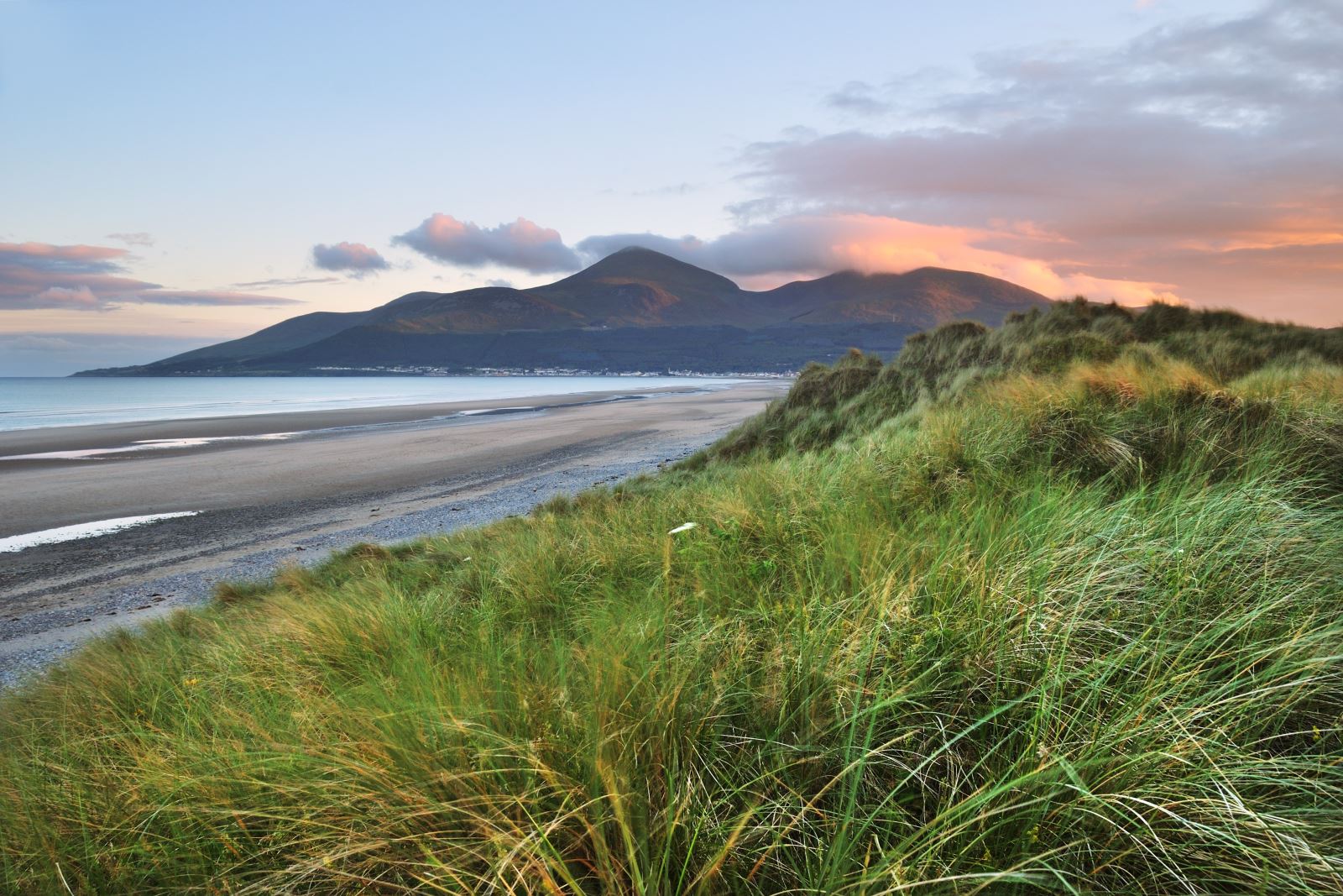
"Where the Mountains of Mourne sweep down to the sea" (Percy French) The popular song has made the Mournes the best known mountains in Ireland. Distinctive and self-contained, they are tucked away in the southeast corner of Northern Ireland, with 12 shapely summits rising about 2,000ft on the eastern side.
This steep climb through the forest provides a series of viewpoints offering panoramic views of the Mourne Mountains and surrounding drumlin landscape of Co Down.
Slieve Croob Scenic Loop explores a truly ancient landscape, much older than the high Mournes. The craggy peaks and rolling valleys were formed when an ancient ocean closed about 400 million years ago. The legacy of man's interaction with the landscape across millennia is very visible here.
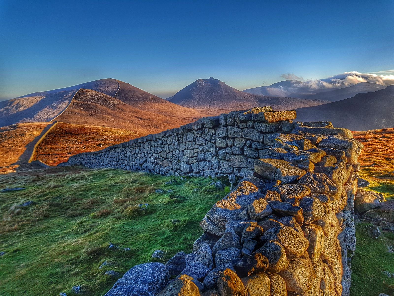
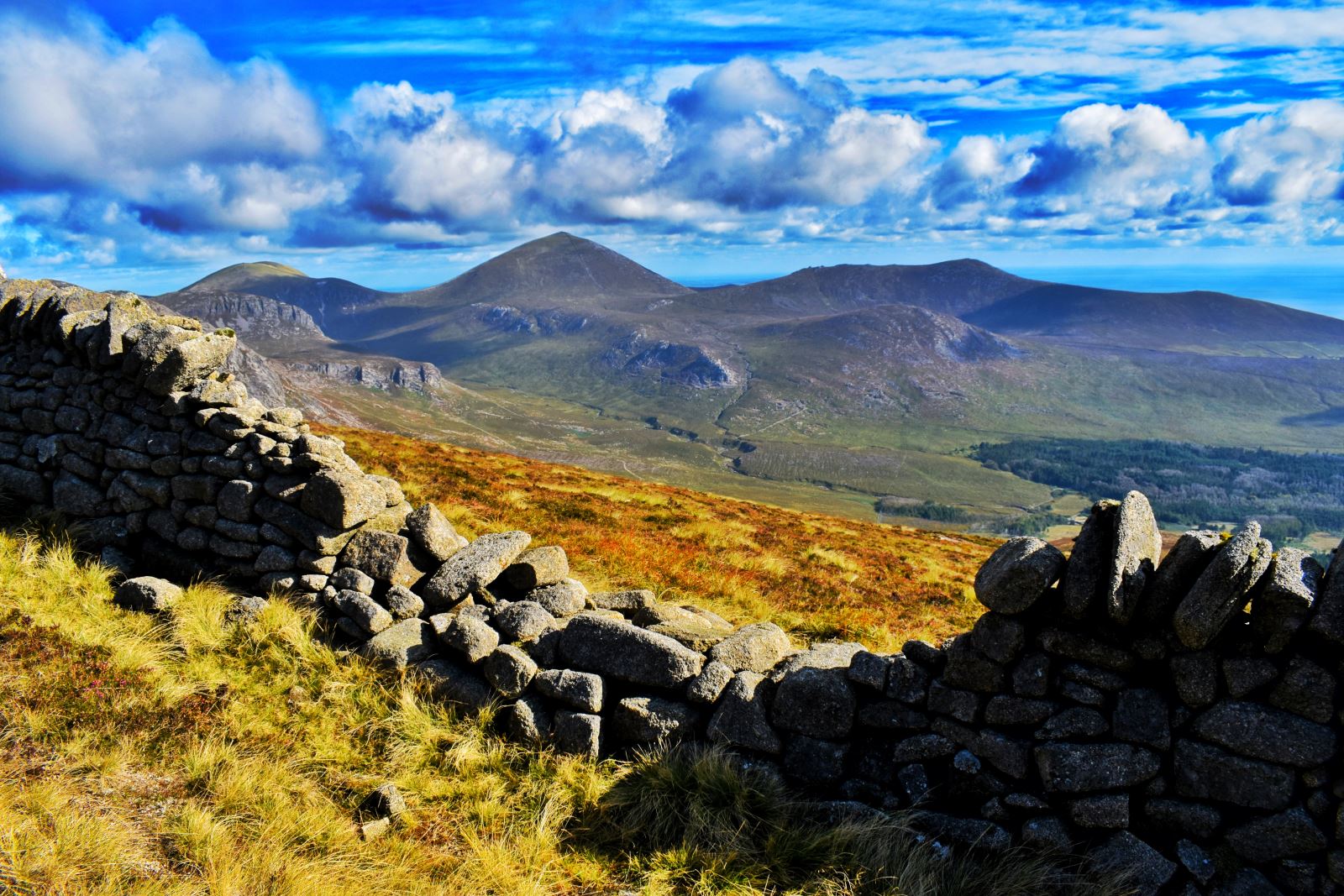
The Mourne Wall is 22 miles long and consists of natural granite stone which was constructed using traditional dry stone walling techniques. It was built from 1904 to 1922 and was overseen by the Belfast City and District Water Commissioners. The wall was built to keep livestock (cattle and sheep) from contaminating the water supplies and took 18 years to complete. It passes over fifteen of the highest mountains in the area - Slieve Bearnagh (727 m), Slieve Meelmore (684 m), Slieve Meelbeg (708 m), Slieve Loughshannagh (619 m), Carn Mountain (587 m), Slieve Muck (674 m), Slievenaglogh (445 m), Moolieve (332 m), Wee Binnian (460 m), Slieve Binnian (747 m), Rocky Mountain (525 m), Slieve Donard (850 m), Slieve Commedagh (765 m), Slieve Cor
The Granite Trail to Thomas’s Mountain is just over 1,100 metres
This walk begins in the Bloody Bridge car park (on the coast), follows the Bloody Bridge River and then follows the Mourne Wall to the summit of Slieve Donard (850m).
Lough Shannagh walk leads up hill on the 'Banns Road', an off road farm track. The route circles Lough Shannagh (in an anti-clockwise direction) with a high point of 587m at Carn Mountain. It also follows and crosses the Mourne Wall on places.
A pleasant walk through both conifer and broadleaved woodland passing the Shimna River, duckponds and several points of historical interest. The Drinns Trail is an optional loop for those wishing to have a greater challenge.
The Narnia Trail starts and finishes within Kilbroney Park, Rostrevor and brings to life the C.S Lewis book, "Chronicles of Narnia" with a number of features along the route.
Walks though a woodland with steep climbs and hills in places
Murlough National Nature Reserve is a fragile 6000 year old sand dune system owned by the National Trust and managed as Ireland’s first Nature Reserve since 1967. It is an excellent area for walking and bird watching.
Join us for the Mourne Wall WaterAid Walk to celebrate 100 years of the Mourne Wall!
This walk begins at the Down County Museum, passing the Mound of Down, travelling along the Quoile River taking in sights such as Quoile Countryside Centre and Steamboat Quay.
Fallows Trail is a 16.2km loop walk through spruce forests and over mountain slopes. It runs by the Yellow Water River, several streams and Red Bog Lake. There are many wonderful views along the route, such as those over Rostrevor and Carlingford Lough.

